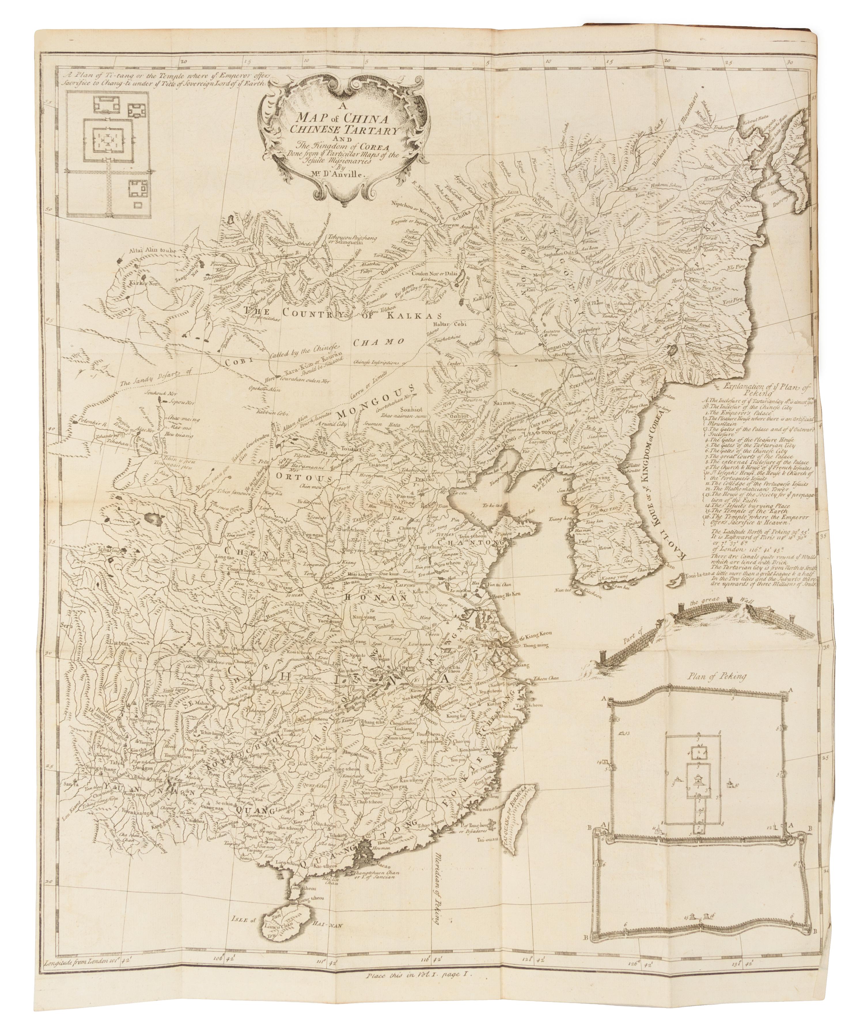
DU HALDE, Jean Baptiste (1674-1743)
The General History of China. Containing a Geographical, Historical, Chronological, Political and Physical Description of the Empire of China, Chinese-Tartary, Corea and Thibet. London: for J. Watts, 1741.4 volumes, 8vo (193 x 120 mm). Titles printed in red and black, 4 engraved frontispieces, 4 engraved folding maps, 15 engraved plates (11 folding), 2pp. of printed music. (One map with tear crossing image, one folding plate torn across fold, some pale spotting or offsetting.) Contemporary sprinkled calf gilt, brown morocco lettering-pieces gilt (some wear to joints, a few small old tape repairs, discreet library label on spine.) Third edition, including accounts of Jesuit travellers in China edited by Du Halde, and with Bering's report of his 1728 voyage through the present-day Bering Straits accompanied by "A Map of the Country which Captn. Beerings past through in his Journey from Tobolsk to Kamtschatka" in volume IV. When published for the first edition of Du Halde's encycolopedic survey of China in 1735, it was the first printed map of part of present Alaska.
Property from the Collection of the Valley of Milwaukee, Ancient Accepted Scottish Rite, Milwaukee, Wisconsin